BY JACOB KAYE
The New York City Department of Health released a map late Tuesday, March 31, detailing the breakdown of the percent of patients testing positive for COVID-19 by ZIP code.
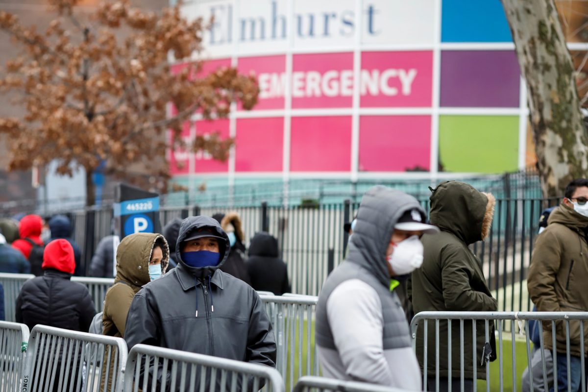
Queens, which leads the city in coronavirus cases, also leads the city in the number of neighborhoods where the majority of people tested for COVID-19 show positive results. Brooklyn and the Bronx also show high percentages of neighborhoods where positive coronavirus tests account for the majority of tests.
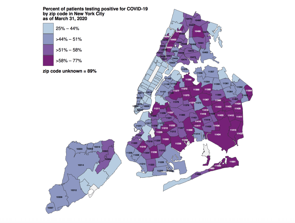
In total, 28 neighborhoods in Queens have between 58 and 77 percent of people tested showing positive results. In Manhattan, only Washington Heights shows similar numbers.
As of March 31, Queens has the most positive coronavirus cases in the city with 13,869, or about 33 percent of the citywide total. There are nearly 42,000 cases in all of New York City and 1,096 deaths, according to the health department.
Editor’s note: The map above does not show the total number of people tested in each neighborhood, meaning it is possible that while some neighborhoods register high on the heat map, there potentially could be fewer people in the neighborhood with COVID-19 when compared to another neighborhood that registers lower on the map. Based on the data above, this cannot be proven or unproven.
This story first appeared on qns.com.
