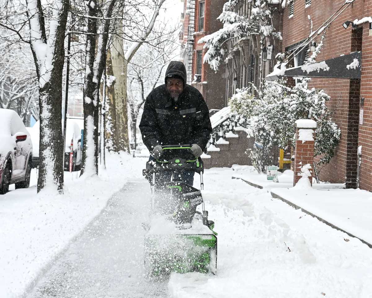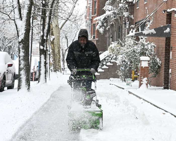
A winter storm brought snow, sleet and freezing rain to New York City on Tuesday, turning many streets into slush puddles and snarling the evening commute.
The snow began around 9 a.m. and started to transition to sleet around midday. The storm was expected to switch over to rain Tuesday night, according to the National Weather Service. A winter weather advisory was issued through 10 p.m.
There could be up to 3 inches of snow and sleet on the ground before it changes to rain. As of Tuesday afternoon, the weather service recorded about an inch of snow and ice in Bergen Beach, Brooklyn, and Rego Park, Queens, as well as in Central Park. Snow totals for the Bronx and Staten Island were not available.
"We don’t expect accumulation to pile up greatly," National Weather Service meteorologist Tim Morrin said.
But the combination of snow, sleet and rain did make for a slippery evening commute. Mayor Bill de Blasio urged New Yorkers to take it slow and rely on mass transit, if possible.
“It’s very messy out there in this city and it will be throughout this afternoon and into this evening,” the mayor said during an afternoon weather briefing. "It’s going to be slower and more difficult than usual for sure, and people should take precautions and get ready for that."
Snowplows were at the ready, de Blasio said, but they could be deployed only if there is more than 2 inches of accumulation.
As for temperatures, Wednesday should top out around 38 degrees and it will continue to get warmer from there. Thursday’s high looks to be around 45 degrees and Friday could reach 50.
Precipitation is not expected on Thursday, but more rain could come on Friday.
So far this season — Oct. 1 through Monday morning — the five boroughs have seen 7 1/2 inches of snow; last year at this time, the city had seen 19.4 inches of snow accumulation, Vaz said. The average is 15.7 inches for the time period.
With Polly Higgins and Lauren Cook