BY ZACH WILLIAMS | Weaving a future multi-purpose levee system into the Lower Manhattan urban fabric got tangled this month with ongoing efforts to restore the South Street Seaport.
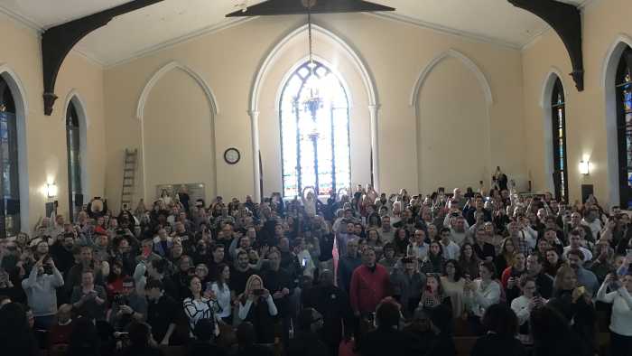
City officials on June 5 presented to Community Board 1’s Planning Committee an ambitious project to construct a multi-purpose levee on the East Side of Lower Manhattan, but some committee members did not necessarily like what they saw. The proposed flood barrier would eventually be able to withstand a 19 feet increase in water level compared to the current sea level and would be built over the course of 65 years depending on the eventual design of the project.
Though such a defensive barrier could be built along the current waterfront, some proposed concepts would require land reclamation up to 500 feet into the East River, according to a 74-page feasibility report released in May by the city Economic Development Corporation.
The study was an outgrowth of the “Seaport City” idea floated last year by Mayor Bloomberg when he released the city’s comprehensive resiliency report. The idea was to build a Battery Park City-type neighborhood on the East River with development helping fund the protection from sea level rises.
This year’s study, which continued under Mayor de Blasio, examined the plausibility of a multi-purpose levee between the Battery Maritime Building and Pier 35 on the Lower East Side. Such a project would mitigate flooding in the surrounding area and potentially provide new land for commercial, residential and recreational development, according to the report.
But an artist’s rendering of what such a coastal defense may look like, drew criticism from committee members who objected to the portrayal of a series of high-rises in the picture. Such structures would undermine the restoration of the historic South Seaport, said committee members.
“It’s a slap in the face,” committee member Tom Goodkind said of the notion of building high-rises between the current historic area and the East River.
Members of the committee acknowledged the necessity of preparing Lower Manhattan for future rises in sea level as well as extreme weather events like Hurricane Sandy. However, the already frantic pace of development in Lower Manhattan already challenges the ability of the community to keep up, according to committee member Tammy Meltzer.
“It was a really interesting presentation,” she said. “I love the idea of building additional resiliency. I have concerns about large high-rises being built on new land and how that affects the total infrastructure. We currently don’t have enough infrastructure to accommodate many things already.”
Daniel Zarrilli, director of the mayor’s Office of Recovery and Resiliency, said the rendering is purely hypothetical and not a “land use proposal.” Insight from the local community is an important element in determining the ultimate design and use of the proposed levee, which unlike traditional sea walls, would be woven into the urban landscape in the form of a gentle slope, according to the report.
“We are here to hear from the community,” he told the committee amidst the concerns that high-rises would be a necessary feature atop the future levees.
City officials will meet with members of C.B.3 on July 9 to discuss the proposed multi-purpose levee.
In concept, such a large and expensive project is feasible financially, technologically and legally, the E.D.C. report concluded. The sale of real estate on the levee for development could also fund storm-resiliency efforts elsewhere in the city, according to Zarrilli. The multi-purpose levee is one of 257 outlined in the “Resiliency Plan” released by the Bloomberg administration last June.
The presentation was the first outreach to the committee following the publication of the report outlining the proposed project as well as the June 2 announcement of the “Big U,” as a winner of a U.S. Department of Housing and Urban Development competition seeking designs for resiliency infrastructure.
Of the $3.5 billion in HUD Community Development Block Grants, almost 10 percent, $335 million, will be used to implement the first section of the project which spans from Montgomery St. to East 23rd St.
If completed, the protective system would stretch from West 57th St. south to The Battery and up to East 42nd St. The construction would be divided into three complementary sections which would physically separate any flooding from adjacent areas. Like the multi-purpose levee, the Big U would seek to integrate itself into current development projects as well as provide additional public space.
Board 1’s committee passed a resolution seeking to spur quicker implementation of the “Berms to the Battery” which would protect the Financial District from potential flooding but currently lacks funding.
“Lower Manhattan is in desperate need of immediate resiliency and hardening measures. Existing plans for such measures, such as the Lower Manhattan Multi-Purpose Levee, are long-term projects that will not effectively protect Lower Manhattan for several decades,” reads a draft of the resolution.
The first phase of the Big U, which currently excludes Community Board 1, could install berms from 10 to 20 feet tall within the next 5 years. In contrast, the Multi-Purpose Levee requires eight years of pre-development planning with implementation spread out over subsequent decades, according to Zarrilli.
This elongated schedule would allow planners to adjust designs not only to accommodate community concerns but also respond to any projected changes in the pace of climate change as well as funding availability, he said.
“Phasing this in over time is actually a good way to manage risk,” he said during the presentation.
