BY JACKSON CHEN | A City Council subcommittee unanimously approved the Midtown East rezoning plan, offering a few adjustments before the plan was unanimously approved by the full Council on August 9.
Meeting on July 27, the Council’s Subcommittee on Zoning and Franchises reviewed the plan, which aims to revitalize Midtown East — bordered roughly by East 39th and 57th Sts. and Third and Fifth Aves. — into a modern office building environment. To attract developers, the rezoning will offer them incentives to build bigger so long as they buy development rights from the district’s landmarked properties or contribute to a public realm project.
The rezoning effort has been in the works for several years and strives to strike a balance among developers seeking bigger buildings, residents and area workers benefiting from quality of life improvements through transit renovations and public space set-asides, and landmarked buildings looking to shoulder their upkeep burden through the sale of their development air rights.
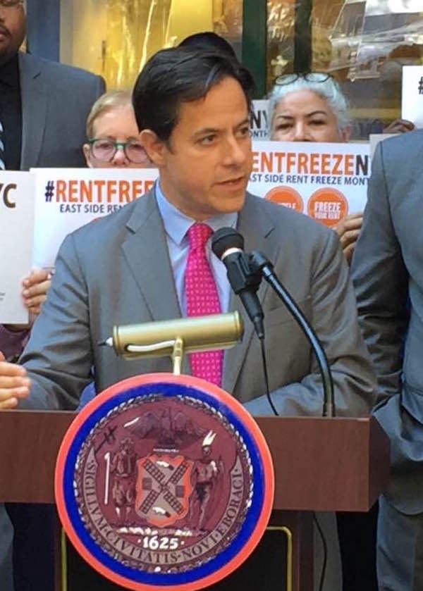
“With this vote, we are breathing new life into New York’s most important business district,” Councilmember Dan Garodnick said in an August 9 press statement. “Not only will we see sensible growth, but the public will benefit from extraordinary new investments in above-ground public spaces and in below-ground subway infrastructure. Better transit, new jobs, top-of-the-line office space: East Midtown is back, full of optimism, and open for business.”
Borough President Gale Brewer and Garodnick had led the task force that developed the rezoning plan.
Landmarked sites, however, resisted a key element in the rezoning plan, opposition on which they gained some ground but not the full outcome they are seeking. As part of every development rights sale, a minimum contribution will be made to a public fund overseen by a governing group responsible for doling out the dollars to transit and public space projects. That contribution had initially been calculated as the greater of 20 percent of the sale value or $78.60 per square foot of development rights, a figure that is one-fifth of the $393 square-foot price set by the city Department of City Planning.
An amendment by the Council adjusted that calculation in line with the current market for development rights. The new square-foot price was set at $307.45 per square foot, a fifth of which is $61.49, the new minimum contribution to the public fund.
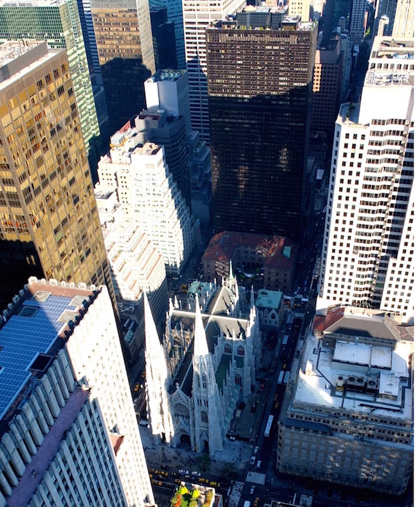
The Archdiocese of New York, which owns St. Patrick’s Cathedral, one of the district’s largest landmarked properties, responded to the subcommittee vote with a statement reiterating its hopes for the rezoning’s potential, but also reasserting its position that no floor should be placed on the development rights sale contribution into the public realm fund.
“While we appreciate that the City Council is balancing a range of interests, we are disappointed that the requirement for a minimum payment by landmark owners regardless of transaction value has remained in the proposal,” the statement read. “This will negatively impact the city’s ability to raise money for public realm improvements and landmarks’ ability to fund preservation efforts.”
Others found more unalloyed reason for satisfaction in the Council subcommittee’s changes. Residents of Turtle Bay notched a victory with the exclusion of Third Ave. from East 46th to 51st Sts. from the district’s boundaries in response to residential concerns. Turtle Bay locals warned that including that strip in the district would threaten its largely residential character.
The changes to the rezoning plan that came out of the Council subcommittee also included a reduction in the minimum size of developments that will be required to provide “privately owned public spaces” from 40,000 square feet to 30,000 square feet — a modification expected to generate 16 additional such spaces — stricter light and air regulations during construction, the establishment of the public realm governing group as a “local development corporation,” and a minimum street frontage of 75 feet for buildings created under the new zoning regulations.


