The city released a new set of maps showing where rainfall will cause to heavy flooding as the hurricane season kicks off along the Atlantic and where it will become worse amid sea level rise driven by climate change in the coming decades.
New York City officials first quietly released the charts Wednesday and Mayor Eric Adams followed up the next day with a new campaign outlining steps the city and individual New Yorkers should take to protect themselves in case of massive deluges like those that pummeled the city last year.
The proposed “action plan” by Mayor Adams puts more emphasis on individual responsibility compared to plans put forth former Mayor Bill de Blasio, The City reported, and the campaign advises what the city and residents should do before, during, and after an extreme rainstorm.
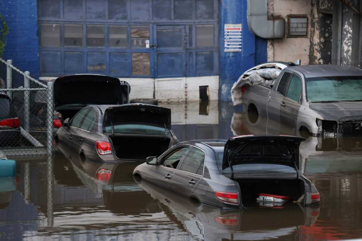
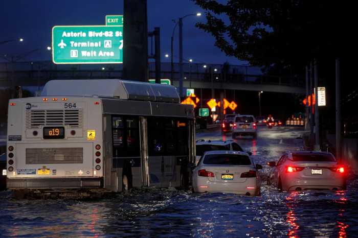
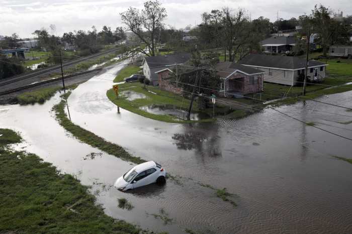
The releases come after the Big Apple was inundated with several extreme storms last summer, including Hurricane Ida which killed 13 people, many of whom trapped in basement apartments.
“Climate change is the city’s biggest environmental threat, and while we continue to invest in resiliency and infrastructure projects to protect us for generations to come, the Rainfall Ready NYC action plan will help every New Yorker to protect themselves, their families, and their homes,” Mayor Adams said in a statement Thursday. “The city is acting now to keep New Yorkers safe as we move into hurricane season, and I encourage every New Yorker to make emergency plans for the next extreme weather event.”
The maps by the Department of Environmental Protection showcase three scenarios of flooding: one with rainfall of about 2 inches an hour at current sea levels (Ida dropped a record-shattering 3.15 inches an hour), another with “moderate” flooding and sea levels rising 2.5 feet by 2050, and a third case with “extreme” floods from 3.5 inches an hour and 4.8 feet of sea-level rise by 2080.
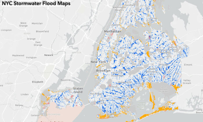
The forecast for 2050 shows high tides eating into coastal areas of the city such as Coney Island and the Rockaways, but similar flooding under the 2-inch-an-hour downpours.
The 2080 projection includes heavier downpour leading to floods across the boroughs and submerging several swaths of entire neighborhoods along those shore areas, as well as inland waterways like the Gowanus Canal and Newtown Creek.


